File:Baillieston Interchange - Geograph - 1775652.jpg
Jump to navigation
Jump to search

No higher resolution available.
Baillieston_Interchange_-_Geograph_-_1775652.jpg (640 × 480 pixels, file size: 80 KB, MIME type: image/jpeg)
| |||||||||||||||||||||||||
|
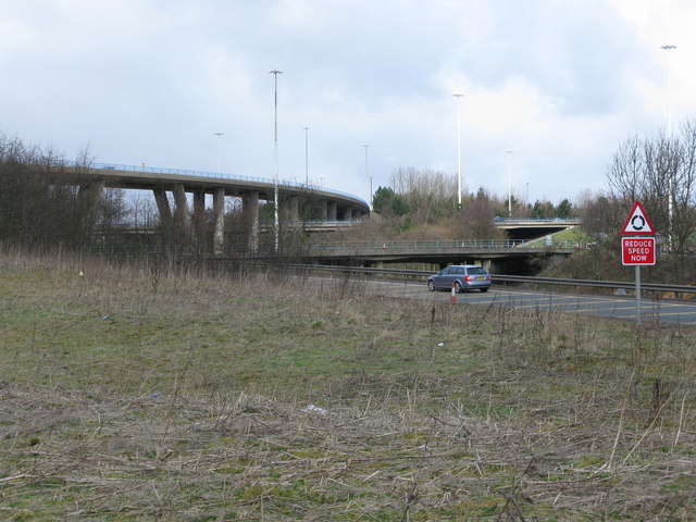
Galleries | A8 | M73 | E16 | Baillieston Interchange | ||
File history
Click on a date/time to view the file as it appeared at that time.
| Date/Time | Thumbnail | Dimensions | User | Comment | |
|---|---|---|---|---|---|
| current | 12:23, 29 June 2010 | | 640 × 480 (80 KB) | Abeaton (talk | contribs) | '''Baillieston Interchange'''<br/>The major intersection of the M73, M8, A8 and A89 viewed from beside an A8 slip road. |
File usage
The following 4 pages use this file: