File:Ballinlea Road, Stranocum (C) Rossographer - Geograph - 1255752.jpg
Jump to navigation
Jump to search

No higher resolution available.
Ballinlea_Road,_Stranocum_(C)_Rossographer_-_Geograph_-_1255752.jpg (640 × 480 pixels, file size: 228 KB, MIME type: image/jpeg)
| |||||||||||||||||||||||||
|
Galleries | B147 (Northern Ireland) | ||
File history
Click on a date/time to view the file as it appeared at that time.
| Date/Time | Thumbnail | Dimensions | User | Comment | |
|---|---|---|---|---|---|
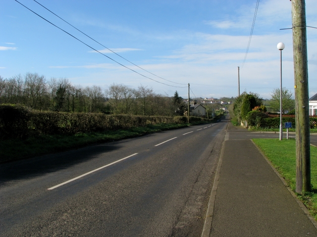
| current | 21:43, 11 November 2013 | | 640 × 480 (228 KB) | Vlad (talk | contribs) | '''Ballinlea Road, Stranocum (C) Rossographer '''<br/>The Ballinlea Road, part of the B147, on the southern edge of the village of Stranocum. |
File usage
The following page uses this file:
_Rossographer_-_Geograph_-_1255752.jpg&oldid=358737)