File:Balloch Road (C) Thomas Nugent - Geograph - 2035628.jpg
Jump to navigation
Jump to search

No higher resolution available.
Balloch_Road_(C)_Thomas_Nugent_-_Geograph_-_2035628.jpg (640 × 480 pixels, file size: 100 KB, MIME type: image/jpeg)
| |||||||||||||||||||||||||
|
Galleries | B854 (Dunbartonshire) | unclassified | ||
File history
Click on a date/time to view the file as it appeared at that time.
| Date/Time | Thumbnail | Dimensions | User | Comment | |
|---|---|---|---|---|---|
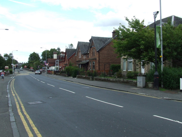
| current | 16:49, 28 March 2015 | | 640 × 480 (100 KB) | Vlad (talk | contribs) | '''Balloch Road (C) Thomas Nugent '''<br/>The railway station is just beyond the red sandstone buildings. |
File usage
The following 2 pages use this file:
_Thomas_Nugent_-_Geograph_-_2035628.jpg&oldid=396554)