File:Ballycastle - Geograph - 464980.jpg
Jump to navigation
Jump to search

No higher resolution available.
Ballycastle_-_Geograph_-_464980.jpg (640 × 427 pixels, file size: 229 KB, MIME type: image/jpeg)
| |||||||||||||||||||||||||
|
Galleries | A2 (Northern Ireland) | Ballycastle | ||
File history
Click on a date/time to view the file as it appeared at that time.
| Date/Time | Thumbnail | Dimensions | User | Comment | |
|---|---|---|---|---|---|
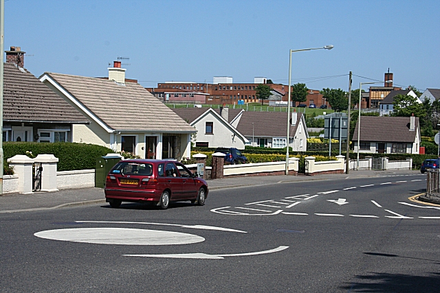
| current | 14:02, 16 June 2010 | | 640 × 427 (229 KB) | Si404 (talk | contribs) | '''Ballycastle'''<br/>A mini-roundabout in a residential area in Ballycastle. The ugly red blocks on the skyline are schools, in the next square. |
File usage
The following 2 pages use this file: