File:Ballyforan, County Roscommon - Geograph - 1789024.jpg
Jump to navigation
Jump to search

No higher resolution available.
Ballyforan,_County_Roscommon_-_Geograph_-_1789024.jpg (640 × 423 pixels, file size: 75 KB, MIME type: image/jpeg)
| |||||||||||||||||||||||||
File history
Click on a date/time to view the file as it appeared at that time.
| Date/Time | Thumbnail | Dimensions | User | Comment | |
|---|---|---|---|---|---|
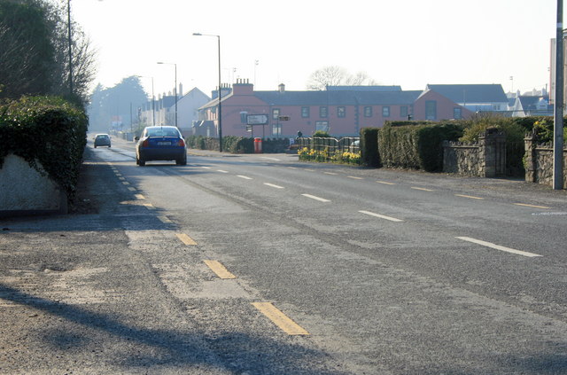
| current | 17:29, 10 May 2016 | | 640 × 423 (75 KB) | C2r (talk | contribs) | '''Ballyforan, County Roscommon''' Junction of R363 and Hawthorn Avenue, looking west towards the Hook & Tackle. |
File usage
The following page uses this file: