File:Ballyhest Cross Roads - Geograph - 1875022.jpg
Jump to navigation
Jump to search

No higher resolution available.
Ballyhest_Cross_Roads_-_Geograph_-_1875022.jpg (600 × 450 pixels, file size: 238 KB, MIME type: image/jpeg)
| |||||||||||||||||||||||||
|
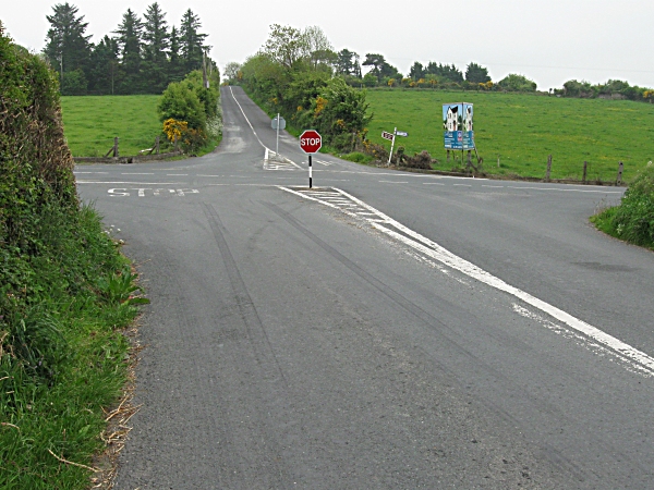
Galleries | R676 | R678 | Ballyhest Cross Roads | ||
File history
Click on a date/time to view the file as it appeared at that time.
| Date/Time | Thumbnail | Dimensions | User | Comment | |
|---|---|---|---|---|---|
| current | 16:51, 14 May 2016 | | 600 × 450 (238 KB) | C2r (talk | contribs) | '''Ballyhest Cross Roads''' Junction of R676 and R678 at Ballyhest Cross Roads, about 8 Km S of Carrick-on-Suir. |
File usage
The following 3 pages use this file: