File:Ballynastraw, County Wexford - Geograph - 1794608.jpg
Jump to navigation
Jump to search

No higher resolution available.
Ballynastraw,_County_Wexford_-_Geograph_-_1794608.jpg (640 × 427 pixels, file size: 100 KB, MIME type: image/jpeg)
| |||||||||||||||||||||||||
File history
Click on a date/time to view the file as it appeared at that time.
| Date/Time | Thumbnail | Dimensions | User | Comment | |
|---|---|---|---|---|---|
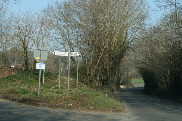
| current | 21:50, 23 May 2016 | | 640 × 427 (100 KB) | C2r (talk | contribs) | '''Ballynastraw, County Wexford''' Ballynastraw is a townland. The road on the right to Shillelagh is the R746. At this point the road to Clonegal forks from it. |
File usage
The following 2 pages use this file: