File:Ballyshannon, County Donegal - Geograph - 504795.jpg
Jump to navigation
Jump to search

No higher resolution available.
Ballyshannon,_County_Donegal_-_Geograph_-_504795.jpg (640 × 479 pixels, file size: 69 KB, MIME type: image/jpeg)
| |||||||||||||||||||||||||
|
Galleries | R267 | Wild Atlantic Way | Ballyshannon | ||
File history
Click on a date/time to view the file as it appeared at that time.
| Date/Time | Thumbnail | Dimensions | User | Comment | |
|---|---|---|---|---|---|
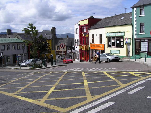
| current | 13:20, 16 June 2010 | | 640 × 479 (69 KB) | Si404 (talk | contribs) | '''Ballyshannon, County Donegal'''<br/>A steep street one-way street near the centre of town. |
File usage
The following page uses this file: