File:Bankfoot Roundabout - Geograph - 460845.jpg
Jump to navigation
Jump to search

No higher resolution available.
Bankfoot_Roundabout_-_Geograph_-_460845.jpg (640 × 480 pixels, file size: 98 KB, MIME type: image/jpeg)
| |||||||||||||||||||||||||
|
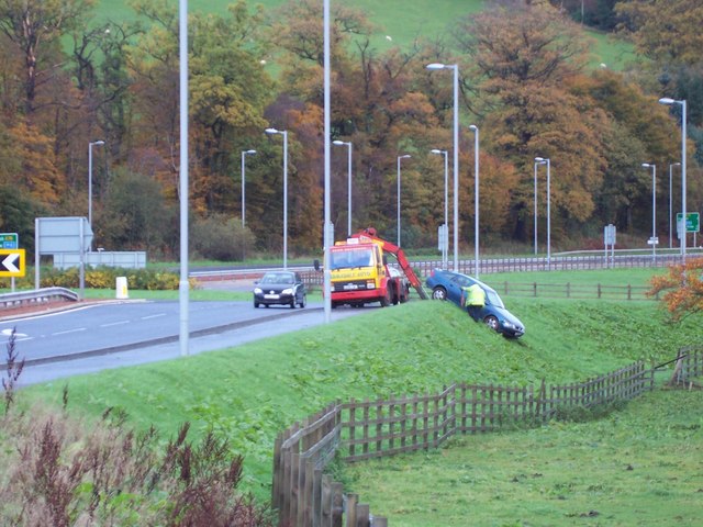
Galleries | A78 | A770 | Bankfoot Roundabout | ||
File history
Click on a date/time to view the file as it appeared at that time.
| Date/Time | Thumbnail | Dimensions | User | Comment | |
|---|---|---|---|---|---|
| current | 13:43, 22 February 2021 | | 640 × 480 (98 KB) | Tam nugent (talk | contribs) | Opened in 2005 to replace a notorious 'T' junction fatal accident blackspot. Accidents continue, but have been less serious than before. Surprisingly no barrier at this point. |
File usage
The following page uses this file: