File:Barber the barber - Geograph - 725407.jpg
Jump to navigation
Jump to search

Size of this preview: 399 × 599 pixels. Other resolution: 426 × 640 pixels.
Original file (426 × 640 pixels, file size: 66 KB, MIME type: image/jpeg)
| |||||||||||||||||||||||||
|
Galleries | B3306 | Pre-Worboys Direction Signs | Pre-Worboys Regulatory Signs | ||
File history
Click on a date/time to view the file as it appeared at that time.
| Date/Time | Thumbnail | Dimensions | User | Comment | |
|---|---|---|---|---|---|
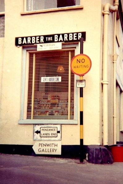
| current | 20:03, 15 January 2010 | | 426 × 640 (66 KB) | Jeni (talk | contribs) | {{Information |description = Barber the barber |day = |month = 9 |year = 1963 |photographer = © Copyright [http://www.geograph.org.uk/profile/12972 James Yardley] and licensed for reuse under [http://creativecommons.org/licenses |
File usage
There are no pages that use this file.