File:Barracks Road, Burnley - Geograph - 2245569.jpg
Jump to navigation
Jump to search

No higher resolution available.
Barracks_Road,_Burnley_-_Geograph_-_2245569.jpg (640 × 480 pixels, file size: 170 KB, MIME type: image/jpeg)
| |||||||||||||||||||||||||
|
Galleries | B6239 | Abandoned Road | ||
File history
Click on a date/time to view the file as it appeared at that time.
| Date/Time | Thumbnail | Dimensions | User | Comment | |
|---|---|---|---|---|---|
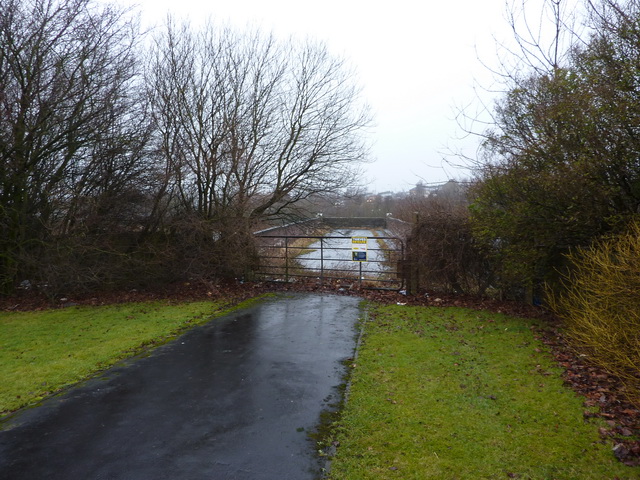
| current | 19:36, 30 August 2016 | | 640 × 480 (170 KB) | Vlad (talk | contribs) | '''Barracks Road, Burnley''' This bridge/road was part of Barracks Road and spans the railway. |
File usage
The following 2 pages use this file: