File:Barrhead Road (C) Lairich Rig - Geograph - 3896820.jpg
Jump to navigation
Jump to search

No higher resolution available.
Barrhead_Road_(C)_Lairich_Rig_-_Geograph_-_3896820.jpg (640 × 431 pixels, file size: 66 KB, MIME type: image/jpeg)
| |||||||||||||||||||||||||
|
Galleries | B762 | ||
File history
Click on a date/time to view the file as it appeared at that time.
| Date/Time | Thumbnail | Dimensions | User | Comment | |
|---|---|---|---|---|---|
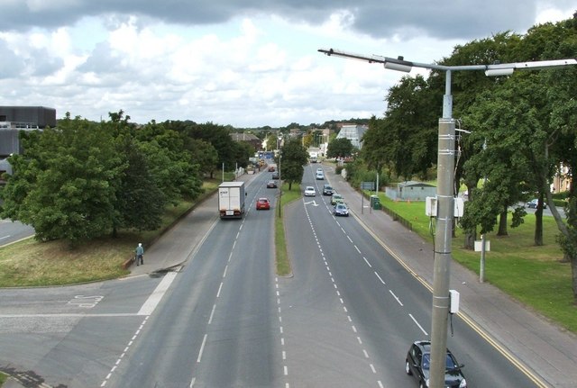
| current | 20:27, 9 March 2015 | | 640 × 431 (66 KB) | Vlad (talk | contribs) | '''Barrhead Road (C) Lairich Rig '''<br/>The picture was taken from a <a href="http://www.geograph.org.uk/photo/3896743">NS5361 : Footbridge over Barrhead Road</a>; that footbridge is now long gone, replaced by a pedestrian crossing at traffic lights. ... |
File usage
The following page uses this file:
_Lairich_Rig_-_Geograph_-_3896820.jpg&oldid=396020)