File:Bas+Plan.jpg
Jump to navigation
Jump to search

Size of this preview: 800 × 581 pixels. Other resolutions: 2,560 × 1,859 pixels | 3,471 × 2,520 pixels.
Original file (3,471 × 2,520 pixels, file size: 1.76 MB, MIME type: image/jpeg)
| ||||||||||||||
|
Galleries | A30 | A339 | M3 | Basingstoke | Black Dam Roundabout | Basingstoke | Black Dam Roundabout | Basingstoke | Black Dam Roundabout | Documents and Media | ||
File history
Click on a date/time to view the file as it appeared at that time.
| Date/Time | Thumbnail | Dimensions | User | Comment | |
|---|---|---|---|---|---|
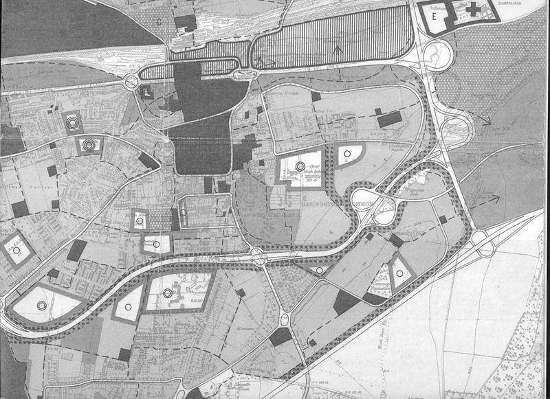
| current | 18:09, 2 May 2012 | | 3,471 × 2,520 (1.76 MB) | Stevea30 (talk | contribs) | Early plans for the M3 J6 and Black Dam |
File usage
The following 2 pages use this file: