File:Bath Street, Largs - Geograph - 3560616.jpg
Jump to navigation
Jump to search

No higher resolution available.
Bath_Street,_Largs_-_Geograph_-_3560616.jpg (640 × 427 pixels, file size: 70 KB, MIME type: image/jpeg)
| |||||||||||||||||||||||||
|
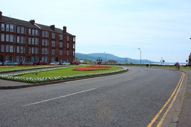
Galleries | B7025 | ||
File history
Click on a date/time to view the file as it appeared at that time.
| Date/Time | Thumbnail | Dimensions | User | Comment | |
|---|---|---|---|---|---|
| current | 20:22, 29 October 2016 | | 640 × 427 (70 KB) | Vlad (talk | contribs) | '''Bath Street, Largs''' |
File usage
The following 2 pages use this file: