File:Beckton Alps, 1973 - Geograph - 130201.jpg
Jump to navigation
Jump to search

No higher resolution available.
Beckton_Alps,_1973_-_Geograph_-_130201.jpg (640 × 424 pixels, file size: 60 KB, MIME type: image/jpeg)
| |||||||||||||||||||||||||
|
Galleries | Beckton Alps | ||
File history
Click on a date/time to view the file as it appeared at that time.
| Date/Time | Thumbnail | Dimensions | User | Comment | |
|---|---|---|---|---|---|
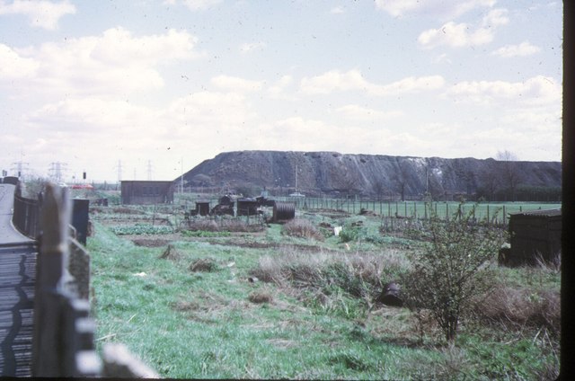
| current | 08:38, 10 July 2016 | | 640 × 424 (60 KB) | C2r (talk | contribs) | '''Beckton Alps, 1973''' The north end of the great spoil heaps of Beckton Gas works, looking east from the A13 Newham Way. Part later became an artificial ski slope, but the nickname pre-dates this. |
File usage
The following page uses this file: