File:Before the bypass - Geograph - 837957.jpg
Jump to navigation
Jump to search

No higher resolution available.
Before_the_bypass_-_Geograph_-_837957.jpg (640 × 410 pixels, file size: 41 KB, MIME type: image/jpeg)
| |||||||||||||||||||||||||
|
Galleries | A4130 | Wallingford Bypass | ||
File history
Click on a date/time to view the file as it appeared at that time.
| Date/Time | Thumbnail | Dimensions | User | Comment | |
|---|---|---|---|---|---|
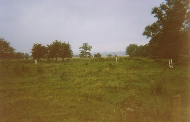
| current | 19:57, 7 March 2010 | | 640 × 410 (41 KB) | Jeni (talk | contribs) | '''Before the bypass'''<br/>This is the only photo I have of the area which will be the new bypass and roundabout. In the distance you can see the tree which was cut down to make the stump. |
File usage
There are no pages that use this file.