File:Beggar's Wood Road (C) Simon Carey - Geograph - 2376430.jpg
Jump to navigation
Jump to search

No higher resolution available.
Beggar's_Wood_Road_(C)_Simon_Carey_-_Geograph_-_2376430.jpg (640 × 480 pixels, file size: 109 KB, MIME type: image/jpeg)
| |||||||||||||||||||||||||
|
Galleries | B2183 | ||
File history
Click on a date/time to view the file as it appeared at that time.
| Date/Time | Thumbnail | Dimensions | User | Comment | |
|---|---|---|---|---|---|
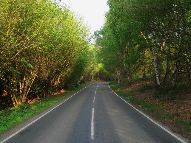
| current | 20:23, 8 November 2013 | | 640 × 480 (109 KB) | Vlad (talk | contribs) | '''Beggar's Wood Road (C) Simon Carey '''<br/>The B2183 connects the A275 and A272 allowing the avoidance of the crossroads at North Chailey. Beggar's Wood is on the left and Memorial Common to the right. |
File usage
The following 2 pages use this file:
_Simon_Carey_-_Geograph_-_2376430.jpg&oldid=358260)