File:Bellanaleck village - Geograph - 1464162.jpg
Jump to navigation
Jump to search

No higher resolution available.
Bellanaleck_village_-_Geograph_-_1464162.jpg (640 × 480 pixels, file size: 78 KB, MIME type: image/jpeg)
| |||||||||||||||||||||||||
|
Galleries | A509 (Northern Ireland) | T10 (Northern Ireland) | ||
File history
Click on a date/time to view the file as it appeared at that time.
| Date/Time | Thumbnail | Dimensions | User | Comment | |
|---|---|---|---|---|---|
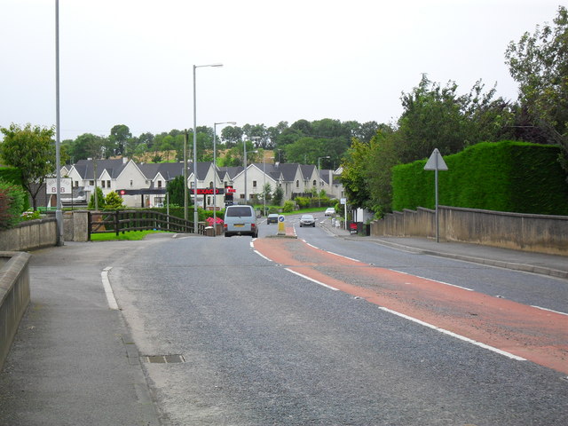
| current | 17:25, 25 May 2013 | | 640 × 480 (78 KB) | Si404 (talk | contribs) | '''Bellanaleck village'''<br/>Looking towards Enniskillen. |
File usage
There are no pages that use this file.