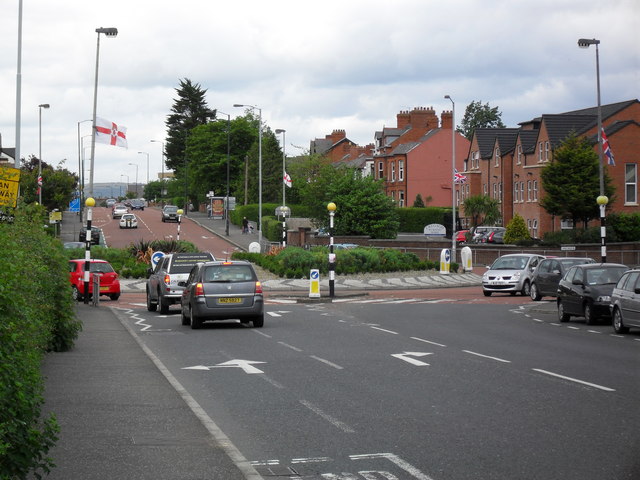
Bells Bridge, Cregagh Road This is Bells Bridge Roundabout which was constructed in the 1940s in line with Ladas Drive and Mount Merrion Avenue - which at that time formed part of a ring road around the outside of the city. I presume at one point there was a bridge near here - as the Loop River passes nearby. This is also the municipal boundary between Belfast City and the Borough of Castlereagh.
'''Bells Bridge, Cregagh Road'''<br/>This is Bells Bridge Roundabout which was constructed in the 1940s in line with Ladas Drive and Mount Merrion Avenue - which at that time formed part of a ring road around the outside of the city. I presume at one poin
File usage
There are no pages that use this file.
Metadata
This file contains additional information, probably added from the digital camera or scanner used to create or digitise it.
If the file has been modified from its original state, some details may not fully reflect the modified file.
