File:Bends on the A3 (C) Chris Gunns - Geograph - 1854495.jpg
Jump to navigation
Jump to search

No higher resolution available.
Bends_on_the_A3_(C)_Chris_Gunns_-_Geograph_-_1854495.jpg (640 × 480 pixels, file size: 87 KB, MIME type: image/jpeg)
| |||||||||||||||||||||||||
|
Galleries | A3 (Isle of Man) | ||
File history
Click on a date/time to view the file as it appeared at that time.
| Date/Time | Thumbnail | Dimensions | User | Comment | |
|---|---|---|---|---|---|
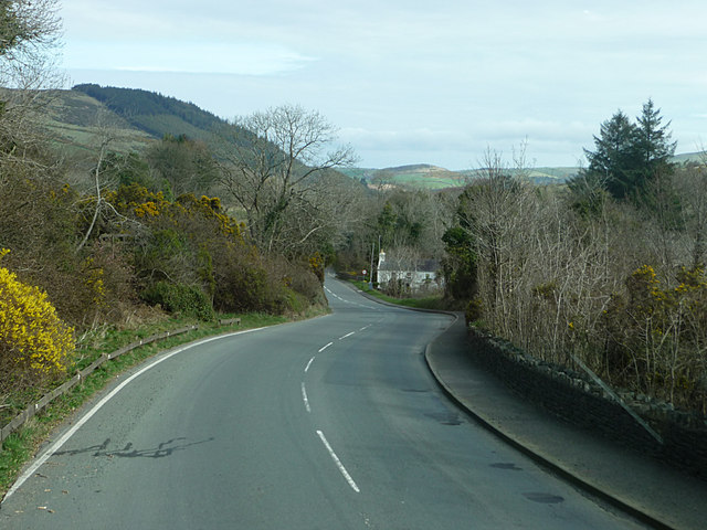
| current | 10:13, 19 June 2013 | | 640 × 480 (87 KB) | Si404 (talk | contribs) | '''Bends on the A3 (C) Chris Gunns '''<br/>Between Foxdale and Lower Foxdale |
File usage
There are no pages that use this file.
_Chris_Gunns_-_Geograph_-_1854495.jpg&oldid=348165)