 | |  |
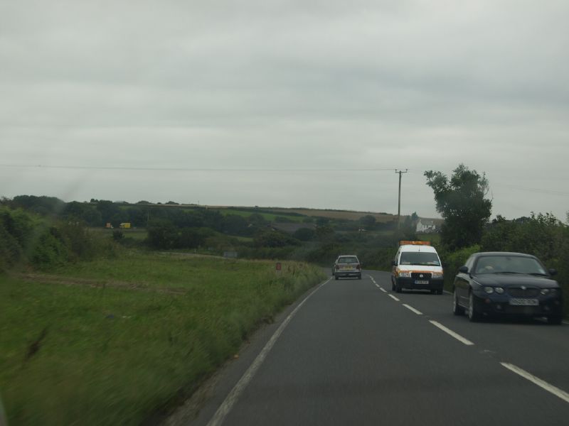
| | Description: | There has been quite a bit of straightening on the A39 over the years; but not here between St Kew and Wadebidge. | | Location: | 50.537305, -4.789756 | | Road: | A39 | | Date: | 27 08 2008 | | Photographer: | | | Source: | |
|
|
| |
 | |  |
File history
Click on a date/time to view the file as it appeared at that time.
| Date/Time | Thumbnail | Dimensions | User | Comment |
|---|
| current | 00:18, 3 February 2014 |  | 1,280 × 960 (235 KB) | Multiraider2 (talk | contribs) | There has been quite a bit of straightening on the A39 over the years; but not here between St Kew and Wadebidge. |
File usage
There are no pages that use this file.
This file contains additional information, probably added from the digital camera or scanner used to create or digitise it.
If the file has been modified from its original state, some details may not fully reflect the modified file.
