File:Bennett's Castle Lane (C) Robin Webster - Geograph - 3241823.jpg

From Roader's Digest: The SABRE Wiki
Jump to navigation Jump to search

Bennett's_Castle_Lane_(C)_Robin_Webster_-_Geograph_-_3241823.jpg(640 × 428 pixels, file size: 112 KB, MIME type: image/jpeg)

Y topleft.gifY topright.gif
Description:
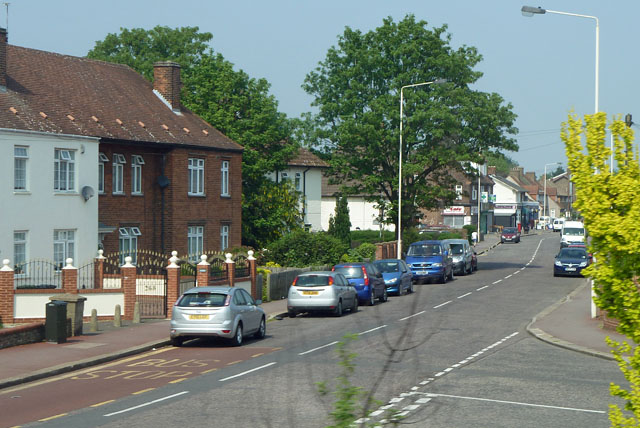
Bennett's Castle Lane (C) Robin Webster
One of the more sinuous roads in the Becontree estate, and pre-dating it. Bennett's Castle was just on the left at this end of the lane, and seems to have been a house rather than a castle or an inn.
Location:51.552114, 0.124320
Road:B191
Date:24 04 2011
Photographer:Robin Webster and licensed for reuse under this Creative Commons Licence
Source:Geograph

Map

Y btmleft.gifY btmright.gif

Galleries  | B191

File history

Click on a date/time to view the file as it appeared at that time.

Date/TimeThumbnailDimensionsUserComment
current19:23, 21 December 2014Thumbnail for version as of 19:23, 21 December 2014640 × 428 (112 KB)Vlad (talk | contribs)'''Bennett's Castle Lane (C) Robin Webster '''<br/>One of the more sinuous roads in the Becontree estate, and pre-dating it. Bennett's Castle was just on the left at this end of the lane, and seems to have been a house rather than a castle or an inn.

The following 2 pages use this file:

Metadata

SABRE - The Society for All British and Irish Road Enthusiasts
Discuss - Digest - Discover - Help