File:Benton Lane - Geograph - 75187.jpg
Jump to navigation
Jump to search

No higher resolution available.
Benton_Lane_-_Geograph_-_75187.jpg (640 × 475 pixels, file size: 94 KB, MIME type: image/jpeg)
| |||||||||||||||||||||||||
|
Galleries | B1505 | A188 | A1060 (Newcastle upon Tyne) | Newcastle upon Tyne | ||
File history
Click on a date/time to view the file as it appeared at that time.
| Date/Time | Thumbnail | Dimensions | User | Comment | |
|---|---|---|---|---|---|
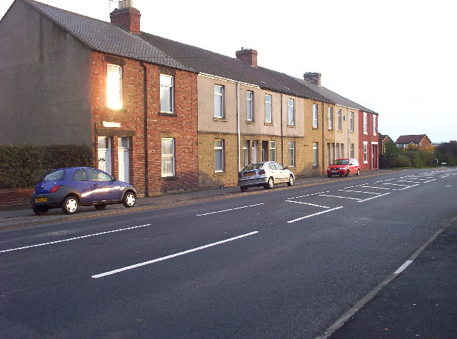
| current | 19:43, 15 May 2014 | | 640 × 475 (94 KB) | Vlad (talk | contribs) | A block of early 20th century terraced housing on the road into Westmoor. |
File usage
The following 4 pages use this file: