File:Bevois Valley Road - Geograph - 1974978.jpg
Jump to navigation
Jump to search

No higher resolution available.
Bevois_Valley_Road_-_Geograph_-_1974978.jpg (640 × 480 pixels, file size: 55 KB, MIME type: image/jpeg)
| |||||||||||||||||||||||||
|
Galleries | A335 | Southampton | S2 | ||
File history
Click on a date/time to view the file as it appeared at that time.
| Date/Time | Thumbnail | Dimensions | User | Comment | |
|---|---|---|---|---|---|
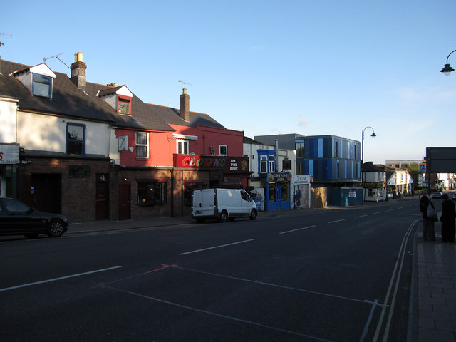
| current | 16:04, 3 February 2011 | | 640 × 480 (55 KB) | Si404 (talk | contribs) | '''Bevois Valley Road'''<br/>Clowns and Sobar, with new student accommodation in between. Not necessarily the ideal location for a productive learning environment, but could be fun. |
File usage
There are no pages that use this file.