File:Bike rack and tools at Lunderston Bay - Geograph - 6727107.jpg
Jump to navigation
Jump to search

Size of this preview: 450 × 600 pixels. Other resolution: 480 × 640 pixels.
Original file (480 × 640 pixels, file size: 205 KB, MIME type: image/jpeg)
| |||||||||||||||||||||||||
|
Galleries | NCN753 | ||
File history
Click on a date/time to view the file as it appeared at that time.
| Date/Time | Thumbnail | Dimensions | User | Comment | |
|---|---|---|---|---|---|
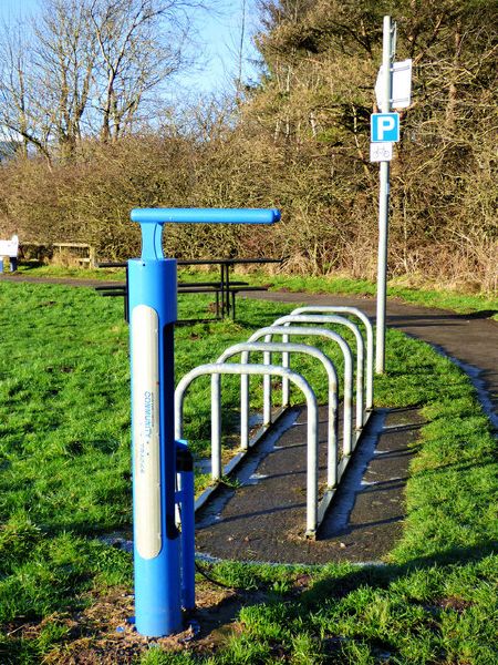
| current | 20:55, 11 April 2021 | | 480 × 640 (205 KB) | Tam nugent (talk | contribs) | Bike rack and tools at Lunderston Bay, alongside National Cycle Network Route 75. Provided by Active Travel Inverclyde Active Tracks, a group which was set-up in 2017 to promote active travel by removing barriers to cycling and walking in the Inverclyde area. |
File usage
There are no pages that use this file.