File:Bilston Link Motorway.png
Jump to navigation
Jump to search

Size of this preview: 688 × 600 pixels. Other resolution: 1,376 × 1,200 pixels.
Original file (1,376 × 1,200 pixels, file size: 1.17 MB, MIME type: image/png)
| |||||||||||||||||||||||||
|
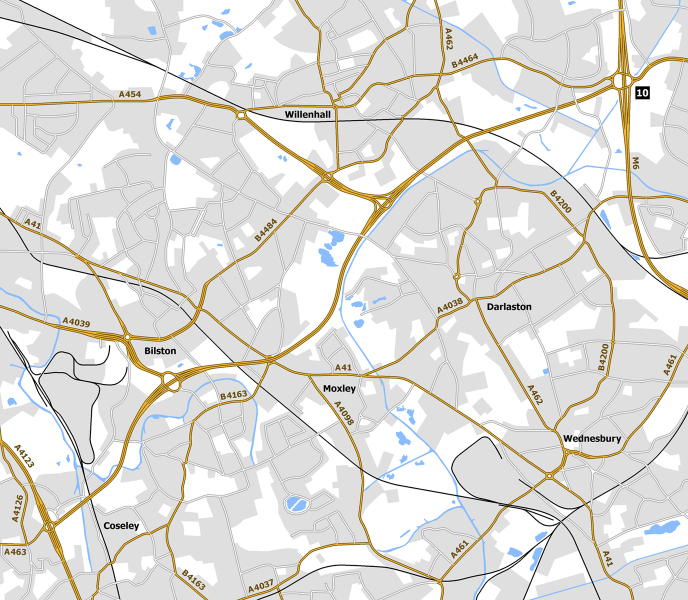
Galleries | Bilston Link Motorway | A454 | A463 | The Keyway | Keyway Junction | Willenhall | Wolverhampton | Coseley | Bilston | ||
File history
Click on a date/time to view the file as it appeared at that time.
| Date/Time | Thumbnail | Dimensions | User | Comment | |
|---|---|---|---|---|---|
| current | 13:14, 8 April 2018 | | 1,376 × 1,200 (1.17 MB) | Truvelo (talk | contribs) | Early 1970s plan for Bilston Link Motorway |
File usage
The following 3 pages use this file: