File:Birmingham, Ashted Circus - Geograph - 3307830.jpg
Jump to navigation
Jump to search

No higher resolution available.
Birmingham,_Ashted_Circus_-_Geograph_-_3307830.jpg (640 × 480 pixels, file size: 416 KB, MIME type: image/jpeg)
| |||||||||||||||||||||||||
|
Galleries | A4540 | Ashted Circus | Warning Sign/Roundabout | Warning Sign/Roadworks | ||
File history
Click on a date/time to view the file as it appeared at that time.
| Date/Time | Thumbnail | Dimensions | User | Comment | |
|---|---|---|---|---|---|
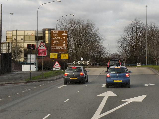
| current | 15:25, 1 June 2016 | | 640 × 480 (416 KB) | Jeni (talk | contribs) | '''Birmingham, Ashted Circus''' Approaching Ashted Circus via the A4540, Lawley Middleway. Notice the different styles of road signs ahead: ?? two red triangle (hazard) signs warn respectively of the roundabout and that there are roadworks on the road ... |
File usage
The following 3 pages use this file: