File:Birmingham Northern Relief Road Detailed Plan 1987 Part 10 of 10 - Coppermine - 14278.jpg

From Roader's Digest: The SABRE Wiki
Jump to navigation Jump to search

Original file(316 × 640 pixels, file size: 92 KB, MIME type: image/jpeg)

Y topleft.gifY topright.gif
Description:Birmingham Northern Relief Road Detailed Plan 1987 Part 10 of 10 Originally uploaded to Coppermine on Jul 27, 2007 by gepree68
Location:This picture currently has no coords, edit this page to add them.
Road:A446(M), M6 Toll
Date:2007
Photographer:Gepree68
Source:Coppermine
Y btmleft.gifY btmright.gif

Galleries  | A446(M) | M6 Toll | Other Mapping

File history

Click on a date/time to view the file as it appeared at that time.

Date/TimeThumbnailDimensionsUserComment
current14:19, 17 May 2010Thumbnail for version as of 14:19, 17 May 2010316 × 640 (92 KB)Si404 (talk | contribs)
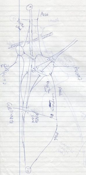
'''Birmingham Northern Relief Road Detailed Plan 1987 Part 10 of 10''' <small>''Originally uploaded to Coppermine on Jul 27, 2007 by gepree68''</small>

There are no pages that use this file.

Metadata

SABRE - The Society for All British and Irish Road Enthusiasts
Discuss - Digest - Discover - Help