 | |  |
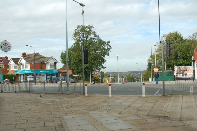
| | Description: | End of the High Street. Opposite is the top of Lance's Hill, which joins the A3024 at the bottom of the bypass | | Location: | 50.9144253, -1.3622189 | | Road: | | | Date: | 2 10 2010 | | Photographer: | Mark Baker | | Source: | |
|
|
| |
 | |  |
File history
Click on a date/time to view the file as it appeared at that time.
| Date/Time | Thumbnail | Dimensions | User | Comment |
|---|
| current | 16:22, 2 October 2010 |  | 1,600 × 1,064 (1.15 MB) | Mnb20 (talk | contribs) | End of the High Street. Opposite is the top of Lance's Hill, which joins the A3024 at the bottom of the bypass |
File usage
The following 3 pages use this file:
This file contains additional information, probably added from the digital camera or scanner used to create or digitise it.
If the file has been modified from its original state, some details may not fully reflect the modified file.
