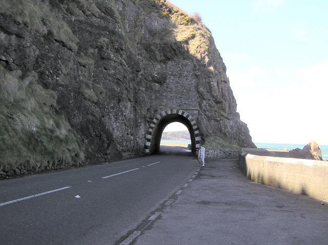
File:Blackcave Tunnel, Larne - Geograph - 149046.jpg
Jump to navigation
Jump to search

No higher resolution available.
Blackcave_Tunnel,_Larne_-_Geograph_-_149046.jpg (640 × 479 pixels, file size: 86 KB, MIME type: image/jpeg)
| |||||||||||||||||||||||||
|
Galleries | A2 (Northern Ireland) | Causeway Coastal Route | Pictures from Geograph | Tunnel | ||
File history
Click on a date/time to view the file as it appeared at that time.
| Date/Time | Thumbnail | Dimensions | User | Comment | |
|---|---|---|---|---|---|
| current | 02:48, 12 November 2009 | | 640 × 479 (86 KB) | Jeni (talk | contribs) | {{Information |description = Blackcave Tunnel, Larne |day = 08 |month = 04 |year = 2006 |photographer = © Copyright [http://www.geograph.org.uk/profile/2282 Kenneth Allen] and licensed for reuse under [http://creativecommons.org/ |
File usage
The following page uses this file: