File:Blacks Lane Ends (C) Ian Paterson - Geograph - 2076780.jpg
Jump to navigation
Jump to search

No higher resolution available.
Blacks_Lane_Ends_(C)_Ian_Paterson_-_Geograph_-_2076780.jpg (640 × 480 pixels, file size: 77 KB, MIME type: image/jpeg)
| |||||||||||||||||||||||||
|
Galleries | B177 (Northern Ireland) | ||
File history
Click on a date/time to view the file as it appeared at that time.
| Date/Time | Thumbnail | Dimensions | User | Comment | |
|---|---|---|---|---|---|
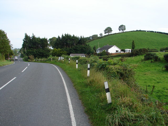
| current | 00:00, 12 November 2013 | | 640 × 480 (77 KB) | Vlad (talk | contribs) | '''Blacks Lane Ends (C) Ian Paterson '''<br/>Approaching the crossroads at Blacks Lane Ends from the B177 Ballynahinch Road heading eastwards. |
File usage
The following 2 pages use this file:
_Ian_Paterson_-_Geograph_-_2076780.jpg&oldid=358944)