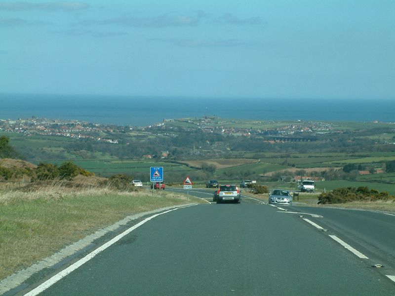
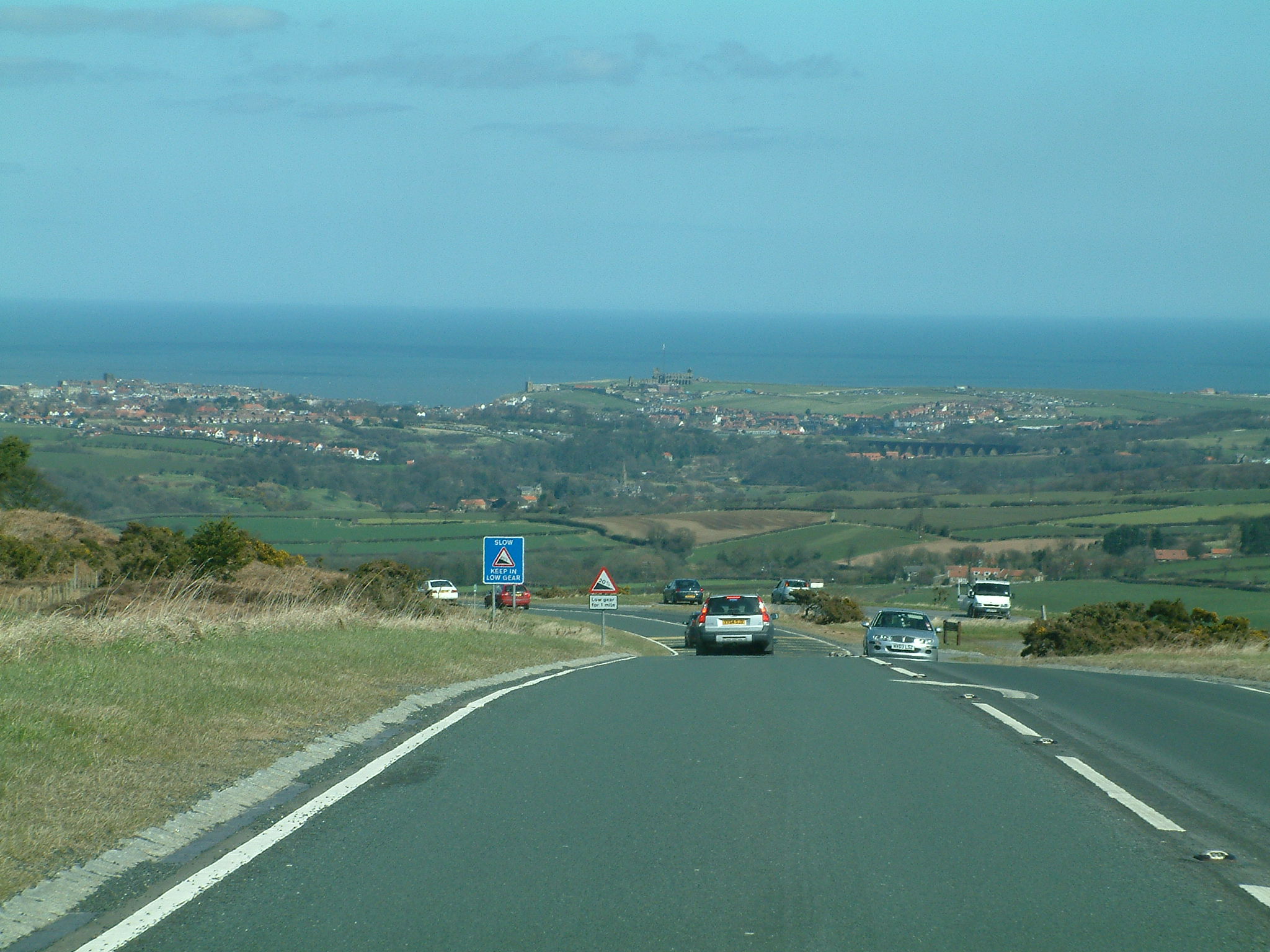
File:Blue Bank with Whitby in the distance (C) Leslie - Geograph - 2360211.jpg
Jump to navigation
Jump to search
Size of this preview: 800 × 600 pixels. Other resolution: 2,048 × 1,536 pixels.
Original file (2,048 × 1,536 pixels, file size: 506 KB, MIME type: image/jpeg)
| |||||||||||||||||||||||||
|
Galleries | A169 | Warning Sign/Steep Hill | Yorkshire | ||
File history
Click on a date/time to view the file as it appeared at that time.
| Date/Time | Thumbnail | Dimensions | User | Comment | |
|---|---|---|---|---|---|
| current | 14:47, 31 August 2014 | | 2,048 × 1,536 (506 KB) | Glen (talk | contribs) | |
| 14:47, 31 August 2014 |  | 640 × 480 (55 KB) | Glen (talk | contribs) | Blue Bank with Whitby in the distance (C) Leslie |
_Leslie_-_Geograph_-_2360211.jpg&oldid=460154)