File:Boghall roundabout - Geograph - 1306431.jpg
Jump to navigation
Jump to search

No higher resolution available.
Boghall_roundabout_-_Geograph_-_1306431.jpg (640 × 480 pixels, file size: 83 KB, MIME type: image/jpeg)
| |||||||||||||||||||||||||
|
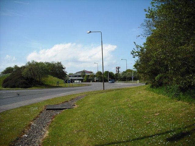
Galleries | A89 | A89 Named Junctions | Roundabout | ||
File history
Click on a date/time to view the file as it appeared at that time.
| Date/Time | Thumbnail | Dimensions | User | Comment | |
|---|---|---|---|---|---|
| current | 17:27, 1 November 2010 | | 640 × 480 (83 KB) | Bob@romiley1 (talk | contribs) | '''Boghall roundabout'''<br/>Bathgate fire station beyond the roundabout. |
File usage
The following 3 pages use this file: