No higher resolution available.
File history
Click on a date/time to view the file as it appeared at that time.
| Date/Time | Thumbnail | Dimensions | User | Comment |
|---|
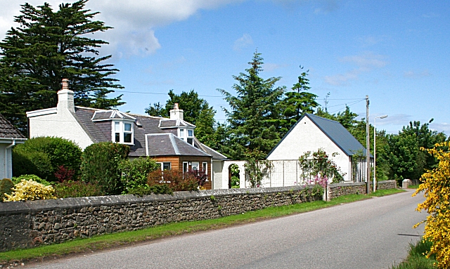
| current | 14:32, 27 April 2010 |  | 640 × 383 (239 KB) | Bob@romiley1 (talk | contribs) | '''Bogmoor'''<br/>This part of the B9104 to Spey Bay is lined with traditional houses at Bogmoor, but only on one side of the road. |
File usage
The following page uses this file:
This file contains additional information, probably added from the digital camera or scanner used to create or digitise it.
If the file has been modified from its original state, some details may not fully reflect the modified file.
