File:Bourton Bridge (C) Michael Dibb - Geograph - 2000363.jpg
Jump to navigation
Jump to search

No higher resolution available.
Bourton_Bridge_(C)_Michael_Dibb_-_Geograph_-_2000363.jpg (640 × 480 pixels, file size: 93 KB, MIME type: image/jpeg)
| |||||||||||||||||||||||||
|
Galleries | A429 | Bourton Bridge | ||
File history
Click on a date/time to view the file as it appeared at that time.
| Date/Time | Thumbnail | Dimensions | User | Comment | |
|---|---|---|---|---|---|
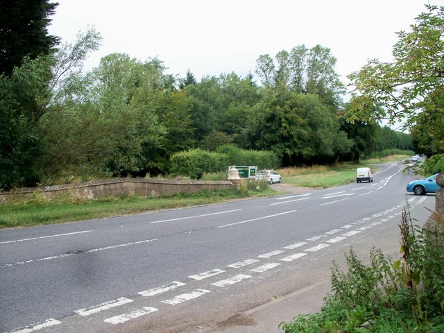
| current | 13:37, 30 October 2014 | | 640 × 480 (93 KB) | Jeni (talk | contribs) | '''Bourton Bridge (C) Michael Dibb '''<br/>The bridge carries the Fosse Way (A429) over the River Windrush. |
File usage
There are no pages that use this file.
_Michael_Dibb_-_Geograph_-_2000363.jpg&oldid=389932)