File:Boyne Bridge lit up at Night - Geograph - 313972.jpg
Jump to navigation
Jump to search

Size of this preview: 388 × 600 pixels. Other resolution: 414 × 640 pixels.
Original file (414 × 640 pixels, file size: 71 KB, MIME type: image/jpeg)
| |||||||||||||||||||||||||
|
Galleries | M1 (Republic of Ireland) | Mary McAleese Boyne Valley Bridge | County Louth | County Meath | Drogheda | ||
File history
Click on a date/time to view the file as it appeared at that time.
| Date/Time | Thumbnail | Dimensions | User | Comment | |
|---|---|---|---|---|---|
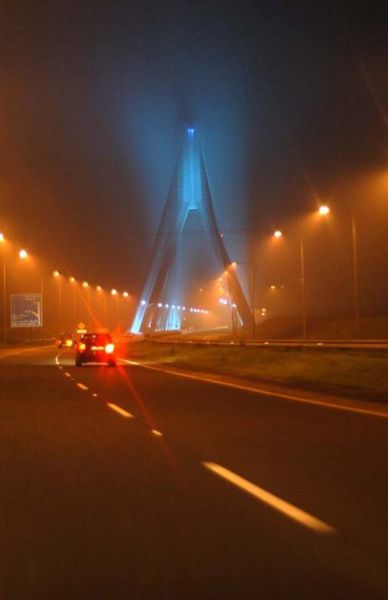
| current | 07:17, 16 September 2009 | | 414 × 640 (71 KB) | Abeaton (talk | contribs) | {{Information |description = Boyne Bridge lit up at Night |day = 19 |month = 03 |year = 2005 |photographer = © Copyright [http://www.geograph.org.uk/profile/9685 Wilson Adams] and licensed for reuse under [http://creativecommons. |
File usage
The following 4 pages use this file: