File:Bramptonfell gates, Brampton - Geograph - 1148151.jpg
Jump to navigation
Jump to search

No higher resolution available.
Bramptonfell_gates,_Brampton_-_Geograph_-_1148151.jpg (640 × 480 pixels, file size: 82 KB, MIME type: image/jpeg)
| |||||||||||||||||||||||||
|
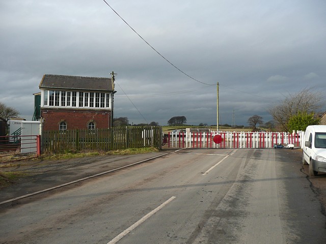
Galleries | B6413 | S2 | Level Crossing | Cumberland | ||
File history
Click on a date/time to view the file as it appeared at that time.
| Date/Time | Thumbnail | Dimensions | User | Comment | |
|---|---|---|---|---|---|
| current | 21:19, 5 October 2010 | | 640 × 480 (82 KB) | Glen (talk | contribs) | '''Bramptonfell gates, Brampton'''<br/>On the road from Castle Carrock. If the gates hadn't closed as I approached, I wouldn't have got the photograph! |
File usage
The following 4 pages use this file: