File:Bredbury Interchange Layout Y.png
Jump to navigation
Jump to search

No higher resolution available.
Bredbury_Interchange_Layout_Y.png (574 × 600 pixels, file size: 274 KB, MIME type: image/png)
| |||||||||||||||||||||||||
|
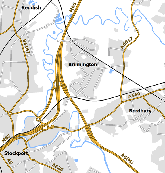
Galleries | M63 | M66 | A6(M) (Bredbury - Hazel Grove) | Bredbury Interchange | ||
File history
Click on a date/time to view the file as it appeared at that time.
| Date/Time | Thumbnail | Dimensions | User | Comment | |
|---|---|---|---|---|---|
| current | 19:27, 6 April 2020 | | 574 × 600 (274 KB) | Truvelo (talk | contribs) | 1976 proposal for the junction site to the west of Brinnington |
File usage
The following 2 pages use this file: