File:Bridge, Dyke Road Drive, Brighton - Geograph - 4686351.jpg
Jump to navigation
Jump to search

No higher resolution available.
Bridge,_Dyke_Road_Drive,_Brighton_-_Geograph_-_4686351.jpg (640 × 488 pixels, file size: 85 KB, MIME type: image/jpeg)
| |||||||||||||||||||||||||
|
Galleries | C542 (Brighton and Hove) | ||
File history
Click on a date/time to view the file as it appeared at that time.
| Date/Time | Thumbnail | Dimensions | User | Comment | |
|---|---|---|---|---|---|
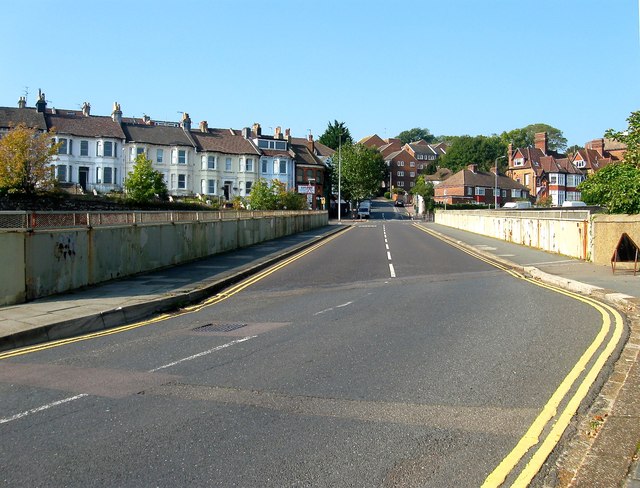
| current | 02:43, 9 May 2019 | | 640 × 488 (85 KB) | Jervi (talk | contribs) | '''Bridge, Dyke Road Drive, Brighton''' Looking towards the junction seen in 4686331. The houses on the left are in Stanford Road. |
File usage
The following page uses this file: