File:Bridge Road, Wembley (C) Martin Addison - Geograph - 3260235.jpg
Jump to navigation
Jump to search

No higher resolution available.
Bridge_Road,_Wembley_(C)_Martin_Addison_-_Geograph_-_3260235.jpg (640 × 427 pixels, file size: 87 KB, MIME type: image/jpeg)
| |||||||||||||||||||||||||
File history
Click on a date/time to view the file as it appeared at that time.
| Date/Time | Thumbnail | Dimensions | User | Comment | |
|---|---|---|---|---|---|
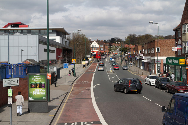
| current | 16:17, 13 September 2014 | | 640 × 427 (87 KB) | Vlad (talk | contribs) | '''Bridge Road, Wembley (C) Martin Addison '''<br/>Looking towards Forty Lane and Barn Hill with the Ark Academy on the left. This view taken from the top deck of an 83 bus on route to Golders Green. |
File usage
The following 5 pages use this file:
_Martin_Addison_-_Geograph_-_3260235.jpg&oldid=385822)