File:Bridge across Desborough Road (C) Mat Fascione - Geograph - 3422686.jpg
Jump to navigation
Jump to search

No higher resolution available.
Bridge_across_Desborough_Road_(C)_Mat_Fascione_-_Geograph_-_3422686.jpg (640 × 483 pixels, file size: 77 KB, MIME type: image/jpeg)
| |||||||||||||||||||||||||
File history
Click on a date/time to view the file as it appeared at that time.
| Date/Time | Thumbnail | Dimensions | User | Comment | |
|---|---|---|---|---|---|
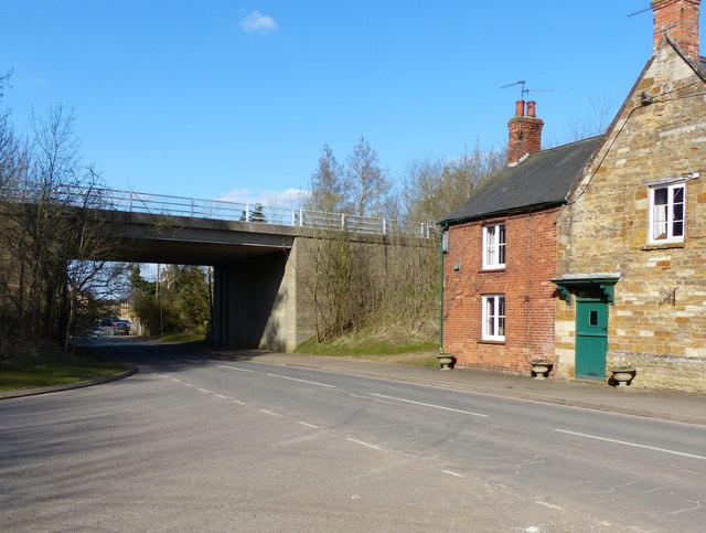
| current | 20:35, 19 February 2015 | | 640 × 483 (77 KB) | Vlad (talk | contribs) | '''Bridge across Desborough Road (C) Mat Fascione '''<br/>The bridge carries the A427 Stoke Albany and Wilbarston bypass, it is at the southern edge of Stoke Albany village. |
File usage
The following 3 pages use this file:
_Mat_Fascione_-_Geograph_-_3422686.jpg&oldid=395417)