File:Bridge and old ford - Geograph - 2111722.jpg
Jump to navigation
Jump to search

No higher resolution available.
Bridge_and_old_ford_-_Geograph_-_2111722.jpg (640 × 480 pixels, file size: 169 KB, MIME type: image/jpeg)
| |||||||||||||||||||||||||
|
Galleries | R597 | Wild Atlantic Way | Ford | ||
File history
Click on a date/time to view the file as it appeared at that time.
| Date/Time | Thumbnail | Dimensions | User | Comment | |
|---|---|---|---|---|---|
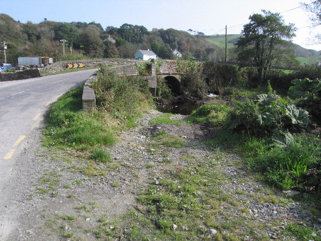
| current | 10:45, 14 May 2016 | | 640 × 480 (169 KB) | C2r (talk | contribs) | '''Bridge and old ford''' The track to the right of the road is presumably what remains of the old ford across the river. |
File usage
The following page uses this file: