File:Bridge at Clady - Geograph - 2081051.jpg
Jump to navigation
Jump to search

No higher resolution available.
Bridge_at_Clady_-_Geograph_-_2081051.jpg (640 × 480 pixels, file size: 49 KB, MIME type: image/jpeg)
| |||||||||||||||||||||||||
|
Galleries | B85 (Northern Ireland) | County Tyrone | Donegal | ||
File history
Click on a date/time to view the file as it appeared at that time.
| Date/Time | Thumbnail | Dimensions | User | Comment | |
|---|---|---|---|---|---|
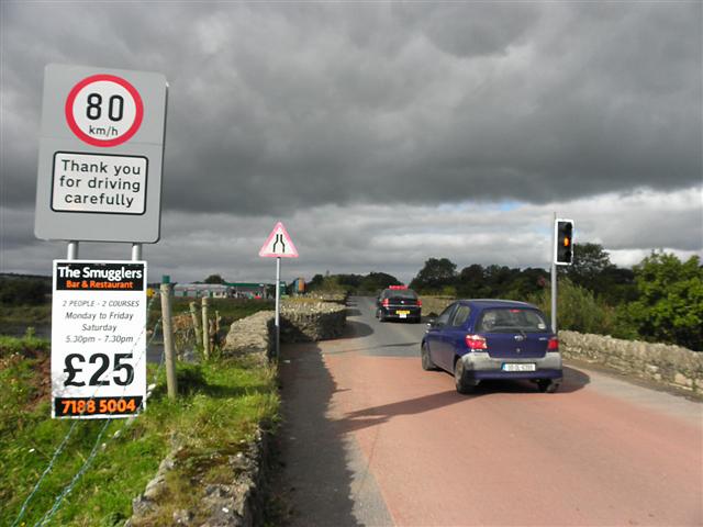
| current | 21:03, 9 August 2016 | | 640 × 480 (49 KB) | Bothar (talk | contribs) | '''Bridge at Clady''' Heading west across the River Finn; a reminder on a NI Roads Service sign that the speed limit in the Republic is 80kph. |
File usage
The following 5 pages use this file: