File:Bridge over the Catter Burn - Geograph - 6885295.jpg
Jump to navigation
Jump to search

No higher resolution available.
Bridge_over_the_Catter_Burn_-_Geograph_-_6885295.jpg (640 × 480 pixels, file size: 106 KB, MIME type: image/jpeg)
| |||||||||||||||||||||||||
|
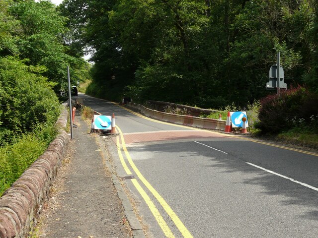
Galleries | A809 | Catter Burn Bridge | Arch Bridges | ||
File history
Click on a date/time to view the file as it appeared at that time.
| Date/Time | Thumbnail | Dimensions | User | Comment | |
|---|---|---|---|---|---|
| current | 09:31, 22 March 2022 | | 640 × 480 (106 KB) | Rileyrob (talk | contribs) | '''Bridge over the Catter Burn''' The barriers reducing the width of the A809 over the bridge have been in place for the last couple of years. |
File usage
The following 2 pages use this file: