File:Bridge over the Frome - Geograph - 374410.jpg
Jump to navigation
Jump to search

No higher resolution available.
Bridge_over_the_Frome_-_Geograph_-_374410.jpg (640 × 480 pixels, file size: 151 KB, MIME type: image/jpeg)
| |||||||||||||||||||||||||
|
Galleries | B3390 | Hurst Bridges | ||
File history
Click on a date/time to view the file as it appeared at that time.
| Date/Time | Thumbnail | Dimensions | User | Comment | |
|---|---|---|---|---|---|
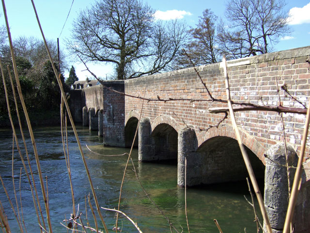
| current | 13:45, 9 May 2010 | | 640 × 480 (151 KB) | Bob@romiley1 (talk | contribs) | '''Bridge over the Frome'''<br/>Looking southwest towards the hamlet of Hurst. This is one of two bridges over the Frome at Hurst, designated as 'Hurst Bridges' on the 1:25000 OS map. |
File usage
The following 3 pages use this file: