File:Bridge over the River Doon - Geograph - 1311355.jpg
Jump to navigation
Jump to search

No higher resolution available.
Bridge_over_the_River_Doon_-_Geograph_-_1311355.jpg (640 × 480 pixels, file size: 78 KB, MIME type: image/jpeg)
| |||||||||||||||||||||||||
|
Galleries | B741 | South West Coastal 300 | S1 | Warning Sign/Other Danger | Regulatory Sign | ||
File history
Click on a date/time to view the file as it appeared at that time.
| Date/Time | Thumbnail | Dimensions | User | Comment | |
|---|---|---|---|---|---|
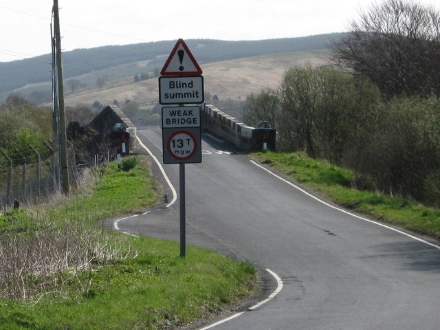
| current | 19:16, 3 January 2010 | | 640 × 480 (78 KB) | Bob@romiley1 (talk | contribs) | {{Information |description = Bridge over the River Doon |day = 22 |month = 04 |year = 2009 |photographer = © Copyright [http://www.geograph.org.uk/profile/7996 Ann Cook] and licensed for reuse under [http://creativecommons.org/li |
File usage
The following page uses this file: