File:Bristol RELL near Newtownards - Geograph - 1604706.jpg
Jump to navigation
Jump to search

No higher resolution available.
Bristol_RELL_near_Newtownards_-_Geograph_-_1604706.jpg (640 × 465 pixels, file size: 98 KB, MIME type: image/jpeg)
| |||||||||||||||||||||||||
|
Galleries | A21 (Northern Ireland) | T12 (Northern Ireland) | ||
File history
Click on a date/time to view the file as it appeared at that time.
| Date/Time | Thumbnail | Dimensions | User | Comment | |
|---|---|---|---|---|---|
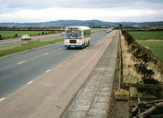
| current | 13:29, 4 May 2010 | | 640 × 465 (98 KB) | Si404 (talk | contribs) | '''Bristol RELL near Newtownards'''<br/>An Ulsterbus Bristol RELL running along the Newtownards � Comber road with the 13.25 Newtownards - Ballygowan. |
File usage
The following 4 pages use this file: