File:Brittany Ferries Arrival at Portsmouth - Geograph - 1271916.jpg
Jump to navigation
Jump to search

No higher resolution available.
Brittany_Ferries_Arrival_at_Portsmouth_-_Geograph_-_1271916.jpg (640 × 361 pixels, file size: 29 KB, MIME type: image/jpeg)
| |||||||||||||||||||||||||
|
Galleries | N/A | Portsmouth | Portsmouth - Cherbourg ferry | ||
File history
Click on a date/time to view the file as it appeared at that time.
| Date/Time | Thumbnail | Dimensions | User | Comment | |
|---|---|---|---|---|---|
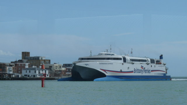
| current | 11:04, 17 August 2010 | | 640 × 361 (29 KB) | Abeaton (talk | contribs) | '''Brittany Ferries Arrival at Portsmouth'''<br/>The Normandie Express passes The Point; it's massive!<br /> <br /> Photograph taken from the Gosport Ferry pier. |
File usage
The following 2 pages use this file: