File:Brittany Ferry approaching the dock - Geograph - 1316878.jpg
Jump to navigation
Jump to search

No higher resolution available.
Brittany_Ferry_approaching_the_dock_-_Geograph_-_1316878.jpg (640 × 480 pixels, file size: 62 KB, MIME type: image/jpeg)
| |||||||||||||||||||||||||
|
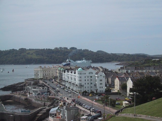
Galleries | A374 | Plymouth - Roscoff ferry | ||
File history
Click on a date/time to view the file as it appeared at that time.
| Date/Time | Thumbnail | Dimensions | User | Comment | |
|---|---|---|---|---|---|
| current | 09:03, 27 June 2010 | | 640 × 480 (62 KB) | Abeaton (talk | contribs) | Brittany Ferry approaching the dock |
File usage
The following 4 pages use this file: