File:Broad Road at Cahery - Geograph - 1455704.jpg
Jump to navigation
Jump to search

No higher resolution available.
Broad_Road_at_Cahery_-_Geograph_-_1455704.jpg (640 × 481 pixels, file size: 105 KB, MIME type: image/jpeg)
| |||||||||||||||||||||||||
|
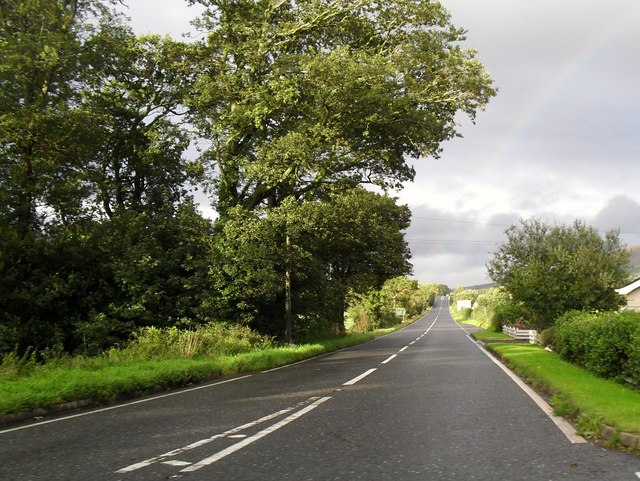
Galleries | A37 (Coleraine - Limavady) | T7 (Northern Ireland) | Limavady | ||
File history
Click on a date/time to view the file as it appeared at that time.
| Date/Time | Thumbnail | Dimensions | User | Comment | |
|---|---|---|---|---|---|
| current | 20:58, 8 May 2013 | | 640 × 481 (105 KB) | Si404 (talk | contribs) | Broad Road at Cahery |
File usage
The following 4 pages use this file: